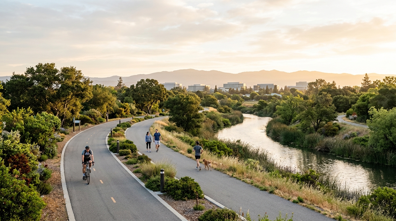
Sunnyvale could eventually gain a major new north-south route for people traveling by bicycle or on foot. The proposed East Channel Trail would extend nearly six miles through the city, connecting the Bay Trail in northern Sunnyvale with Homestead Road near the southern city limit.
The idea is significant because the route would be much more than another neighborhood path. Sunnyvale envisions connections to schools, parks, recreational facilities, the Sunnyvale Community Center, shopping areas and employment destinations. If ultimately funded and built, the trail could give residents another way to make everyday trips without relying entirely on busy streets or a car.
However, it is important to understand where the project stands in 2026. Sunnyvale is currently studying and planning the trail. The city has not announced that a nearly six-mile trail is about to open, and construction funding still needs to be identified after the study is completed.
For residents interested in walking, cycling, parks and changes to the city’s transportation network, the East Channel Trail is nevertheless one of Sunnyvale’s most important projects to watch.
What Is the Sunnyvale East Channel Trail?
The East Channel is a north-south corridor that runs from near the San Francisco Bay through much of Sunnyvale. The city’s Active Transportation Plan identified the corridor as an opportunity to create a stronger walking and bicycling connection between northern and southern parts of the community.
According to the City of Sunnyvale, the proposed route is approximately 5.78 miles long. It would begin around the Bay Trail and continue south toward Homestead Road. The concept includes different types of bicycle and pedestrian facilities depending on available space and conditions along each part of the corridor.
That distinction matters. The entire route is not necessarily envisioned as one identical paved trail from beginning to end.
A Route From the Bay Trail to Homestead Road
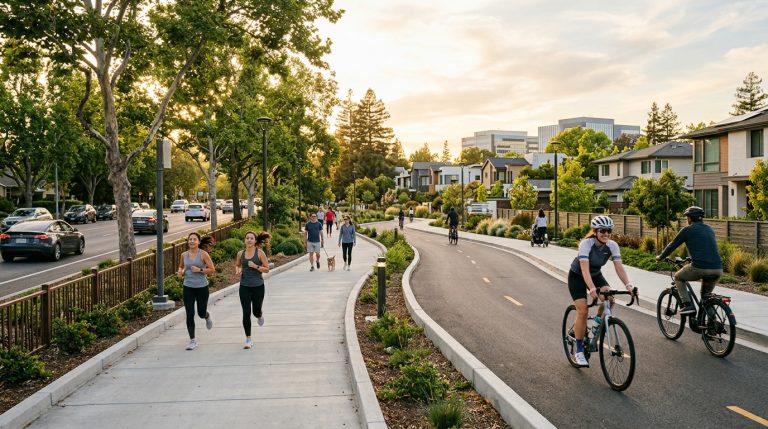
For most of the section between the Bay Trail and Inverness Way, the city’s Active Transportation Plan recommends a Class I shared-use path. A Class I facility is separated from regular automobile traffic, creating a space intended for people walking and bicycling rather than asking them to share a standard travel lane with vehicles.
South of Inverness Way toward Homestead Road, the concept includes a Class IIIB bicycle boulevard. Bicycle boulevards generally use lower-stress streets and treatments intended to prioritize bicycle travel, although bicyclists are not physically separated from vehicles in the same way they would be on a Class I trail.
The city is studying the precise route, street crossings and space that would be necessary to make these different pieces work together. Major intersections and physical constraints are particularly important because a trail is only as useful as its connections.
For people who already enjoy Sunnyvale’s outdoor spaces, the project could eventually complement existing recreational options. Our Sunnyvale parks and outdoors guide highlights other places to walk, exercise and spend time outside while the East Channel project remains in planning.
Schools, Parks and Everyday Destinations Could Be Connected
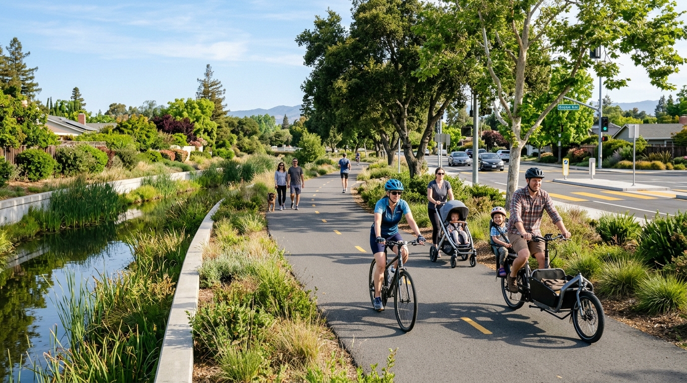
One reason the East Channel proposal stands out is the number of everyday destinations located near the corridor. The City says its vision is for the route to connect to eight schools, four parks, the Sunnyvale Community Center, recreational facilities, shopping centers and numerous businesses.
That creates possibilities beyond recreational cycling. A useful north-south connection could potentially serve students traveling to school, residents heading to a park, workers making part of a commute by bicycle and families walking between nearby destinations.
It could also help connect different parts of Sunnyvale’s transportation network. At its northern end, the project would reach the Bay Trail, giving recreational users access toward the broader San Francisco Bay trail system. At the southern end, Homestead Road already forms an important east-west corridor.
Better connections are particularly relevant as Sunnyvale continues changing in other areas. Downtown is adding housing, commercial uses and more pedestrian-oriented public spaces. You can read more about those changes in our guide to Downtown Sunnyvale, Cityline and Murphy Avenue in 2026.
Why Sunnyvale Is Studying the Trail Now
The East Channel Trail is part of a broader push toward a more connected walking and bicycling network. Sunnyvale adopted its Active Transportation Plan in 2020 after community interest in creating safer and easier ways to travel without a car, including better north-south connections.
The trail study itself has been structured in three phases. Earlier work examined existing conditions, traffic at crossings, potential alternatives and possible trail routes. Community outreach has included surveys, workshops, meetings and discussions about issues such as crossings, route alternatives, operations and maintenance.
The project has now moved into its third phase. That is when the planning work begins to turn into a clearer long-term proposal.
Residents should therefore view 2026 as a planning milestone rather than a construction milestone. Decisions made during this stage can influence what eventually gets designed, how difficult sections are handled and what type of project Sunnyvale would seek funding to build.
What Sunnyvale Residents Should Know in 2026
The East Channel Trail has considerable potential, but infrastructure projects of this scale take time. Route studies, environmental considerations, street crossings, available space, flood-control infrastructure, design work and funding all have to align before people can ride or walk the completed facility.
Understanding that process can make it easier to separate the long-term vision from what is actually happening today.
Phase 3 Is About the Plan, Not Immediate Construction
The current Phase 3 schedule runs from spring 2026 through spring 2027. During this period, the city expects to finish the concept design, identify an implementation strategy and prepare draft and final plans.
The city’s stated outreach goal for this stage is to share the draft plan and collect feedback. After the study is complete, Sunnyvale says it will look for funding needed to move into trail design and construction.
That means residents should not interpret the current study as a promise that the full route will be constructed immediately afterward. There may be additional design work, approvals, coordination and funding decisions before construction can begin.
The most reliable place to track those milestones is the official City of Sunnyvale East Channel Trail project page.
Street Crossings and Physical Barriers Will Shape the Experience
Drawing a trail line on a map is relatively simple. Creating a comfortable route across a developed city is much harder.
The East Channel crosses or approaches roads and other infrastructure along its path. The city has therefore been studying street-level crossing types and route options around major barriers. These details may ultimately determine whether the trail feels continuous or whether users repeatedly encounter stressful transitions.
For someone cycling with children, walking to a park or commuting by bicycle, intersections can matter just as much as the trail between them. Safe and intuitive crossings can make a route accessible to a broader range of users, while difficult crossings can discourage people who are not already confident cyclists.
Sunnyvale is also coordinating where possible with Valley Water’s separate East and West Channels Flood Protection Project because work in the same corridor can affect how infrastructure is planned.
The Biggest Benefit Could Be Everyday Short Trips
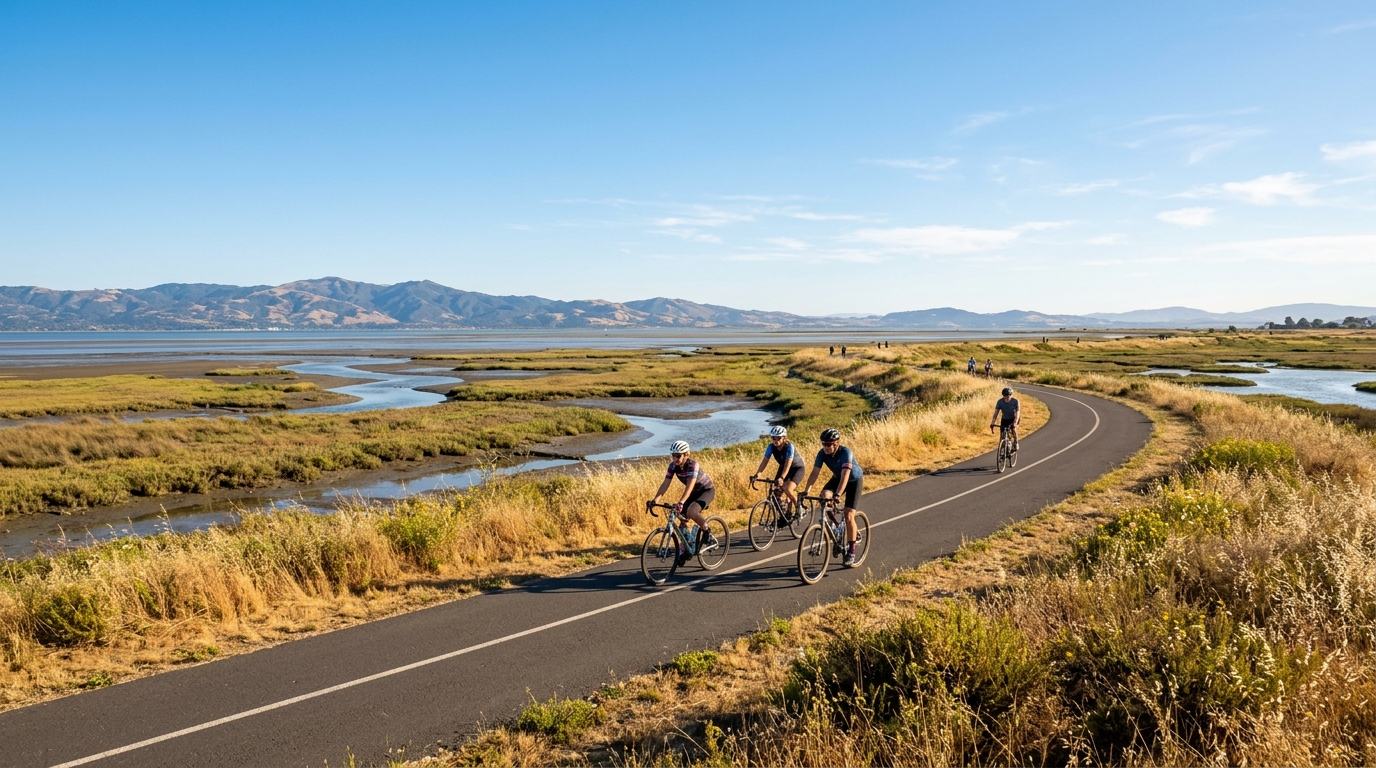
Scenic trails are easy to think about primarily as weekend recreation. The East Channel proposal could have a different kind of value because it passes close to destinations residents use during ordinary weeks.
A route connecting schools, parks, recreation, shopping and workplaces could make some short trips more practical by bicycle or on foot. Not every household would replace a car trip, and the usefulness would vary depending on where someone lives, but a continuous north-south route would create an option that does not exist in the same form today.
It could also make recreational outings easier. A rider could potentially connect from neighborhoods toward the Bay Trail without relying as heavily on major arterial roads. Families might use shorter pieces of the route simply to reach nearby parks or community facilities.
Visitors looking for outdoor ideas today can browse our parks and outdoor places in Sunnyvale while following the East Channel project for future additions to the network.
Residents Can Follow the Project Before the Final Plan Is Complete
Because Sunnyvale is still developing the plan, this is a more useful time to follow the project than waiting until construction equipment appears. The city has already gathered community feedback during earlier phases and says Phase 3 will include sharing the draft plan and collecting additional input.
Residents who live near the corridor may want to pay particular attention to proposed crossings, access points, privacy, landscaping, maintenance and connections with neighborhood streets. Cyclists and pedestrians may be more focused on continuity, comfort and whether difficult intersections receive adequate treatment.
The final outcome will depend on technical feasibility, community feedback and future funding. Even so, the broader goal is straightforward: create a more connected route through Sunnyvale for people who want to walk or bike.
If the East Channel Trail eventually reaches that goal, its biggest impact may not be a dramatic new attraction. It could be something more practical—a path that quietly makes it easier to reach school, a park, a business, the Community Center or the Bay Trail without getting into a car.
That is why the project is worth following through 2026 and into 2027. It represents the kind of infrastructure change that can gradually reshape how residents move through Sunnyvale, one everyday trip at a time.