Sunnyvale’s walking and biking network is entering an important period of change. One major trail project is preparing for construction, while another much longer route is moving through detailed planning and community review.
The Evelyn Multi-Use Trail and East Channel Trail are different projects with different timelines, but they share a common goal: making it easier to travel through Sunnyvale without having to rely on a car for every trip.
The Evelyn project focuses on a relatively compact east-west connection along West Evelyn Avenue. It will create a fully separated path between the Mountain View border and Mathilda Place. The East Channel Trail is far more ambitious. Sunnyvale is studying a nearly six-mile north-south route extending from the Bay Trail toward Homestead Road.
For people who walk, bike, run or simply want safer ways to reach schools, parks, downtown and other destinations, these projects could gradually make Sunnyvale’s transportation network more connected. Here is where each project stands in 2026 and what residents should watch next.
Two Sunnyvale Trail Projects Are Moving Forward at Different Stages
It is easy to group every bicycle project together, but Evelyn and East Channel are at very different stages. The Evelyn Multi-Use Trail already has a defined design and construction contractor. The East Channel Trail is still determining the best route, crossings and implementation strategy.
This means Sunnyvale residents are likely to see physical changes along Evelyn Avenue sooner, while the East Channel project represents a longer-term opportunity to create a major north-south corridor.
Evelyn Multi-Use Trail Is Moving From Planning Toward Construction
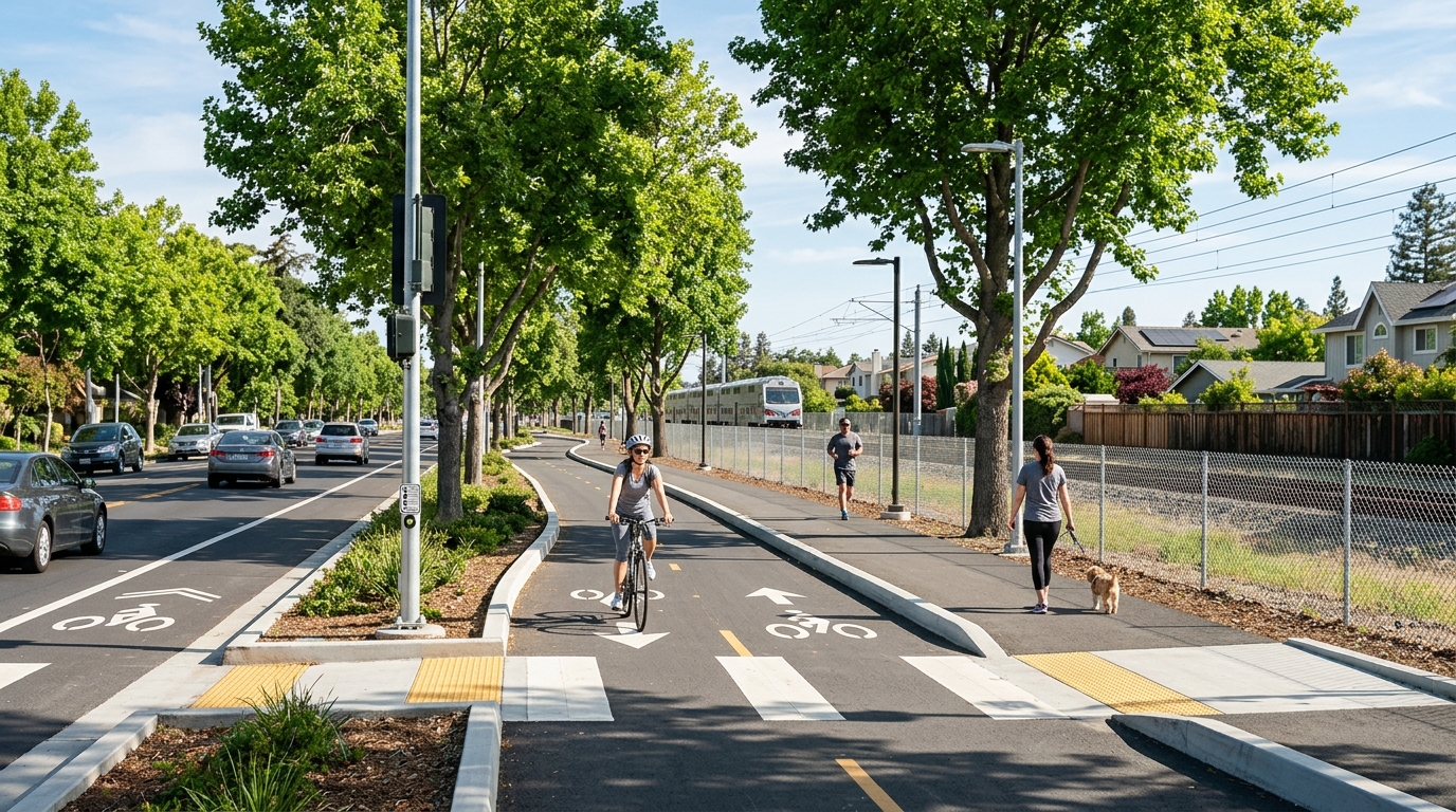
The Evelyn Avenue Multi-Use Trail will run along the north side of West Evelyn Avenue, beginning at South Bernardo Avenue near the Mountain View and Sunnyvale border and extending east to Mathilda Place.
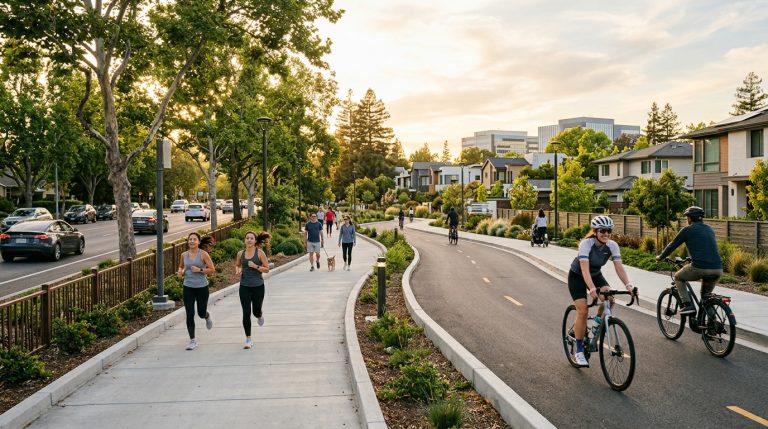
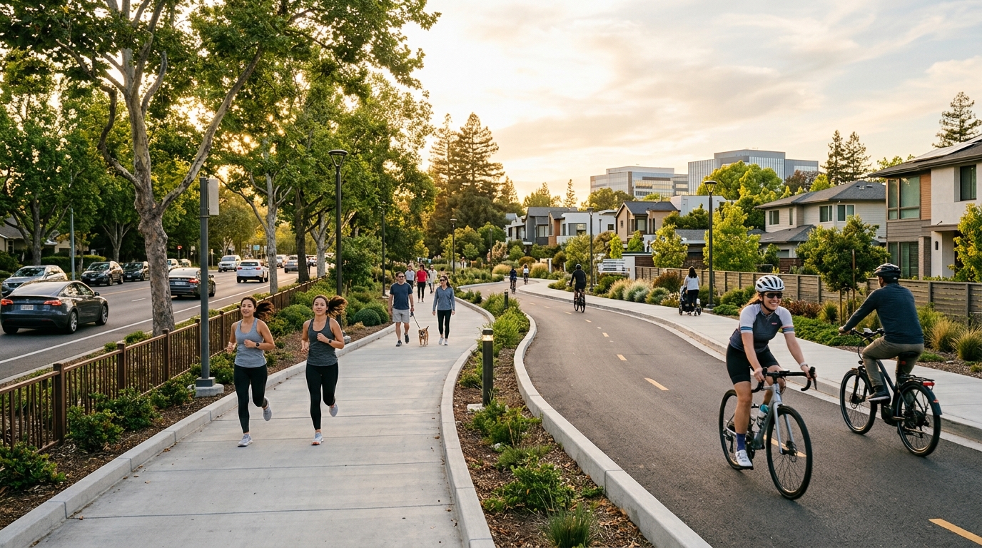
Sunnyvale describes it as a Class I shared-use path. That means people walking and biking will use a paved facility physically separated from ordinary vehicle traffic rather than relying only on painted bicycle lanes.
The project is important partly because Evelyn Avenue already acts as a useful east-west connection. The street runs close to the Caltrain corridor and provides access toward downtown, Mary Avenue, Mathilda Avenue and neighboring Mountain View.
Creating a continuous separated pathway can make that corridor more comfortable for people who may not feel confident riding alongside cars. It could also make short walking trips more practical along portions of Evelyn where pedestrian facilities have historically been limited.
What the New Evelyn Avenue Path Will Include
The trail involves more than simply paving a wide sidewalk. Sunnyvale’s project includes changes intended to help the shared-use path function at intersections and along the existing street.
Planned improvements include signal modifications, changes to lane configurations, new paving, signage and striping. Rectangular rapid flashing beacons are planned at Sunset Avenue and Pastoria Avenue to improve visibility where trail users cross.
The existing eastbound bicycle lane between South Bernardo Avenue and Pastoria Avenue is expected to move and become part of the new shared-use facility. The project will also modify the Evelyn Avenue and Mary Avenue intersection.
Importantly for people who currently park along Evelyn, the city says parallel on-street parking spaces will remain.
The result should be a corridor that connects with bicycle and pedestrian networks at Bernardo Avenue, Mary Avenue, Sunset Avenue, Pastoria Avenue, Florence Street and the southbound Mathilda Avenue loop ramp.
Construction Has Reached a Major 2026 Milestone
The project moved significantly closer to construction in July 2026 when the Sunnyvale City Council awarded the construction contract to GradeTech Inc. The city’s project page currently describes Evelyn as being in pre-construction and estimates a 2027 completion and opening.
That makes Evelyn one of the city’s walking and biking projects where residents can reasonably expect to see physical construction activity rather than only conceptual planning.
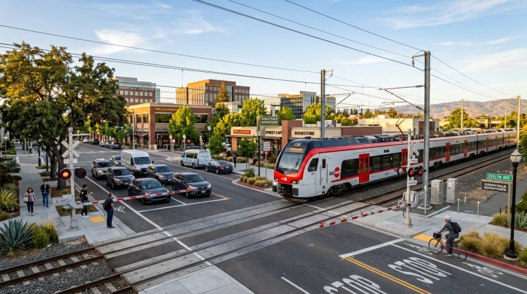
The route could also become more useful as other nearby transportation projects progress. Sunnyvale is separately working on major Caltrain crossing changes at Mary and Sunnyvale avenues. Read our overview of the Sunnyvale Caltrain grade separation projects for more information about those plans.
Residents can follow construction updates through the City of Sunnyvale Evelyn Multi-Use Trail project page.
The East Channel Trail Could Become a Nearly Six-Mile North-South Route
While Evelyn is approaching construction, the East Channel Trail remains in an earlier but potentially more transformative stage.
The city is evaluating a route running approximately 5.78 miles from the San Francisco Bay Trail at Sunnyvale’s northern edge toward Homestead Road in the south. Most of the northern portion is envisioned as a Class I shared-use trail, while the southern portion could use a bicycle boulevard to complete the connection.
The project responds to a long-standing challenge in Sunnyvale: comfortable north-south walking and biking routes can be harder to find than east-west connections because major roads, freeways, rail infrastructure and other barriers divide parts of the city.
We covered the planning process in greater detail in our complete guide to the Sunnyvale East Channel Trail. What makes the project especially timely now is that Sunnyvale has entered the third phase of its study and is asking residents to help determine priorities.
The Trail Could Link Schools, Parks and the Bay Trail
The East Channel proposal is not intended only as a recreational path. Sunnyvale’s stated vision is to connect everyday destinations across the city.
The corridor could eventually provide access near eight schools, four parks, recreational facilities, the Sunnyvale Community Center, shopping areas and numerous businesses. At the north end, it would connect with the Bay Trail, opening opportunities for longer recreational rides and walks around the South Bay.
That combination could make the route useful to several types of people. Students could use portions for school trips. Residents could bike to parks or community facilities. Commuters could use the trail as part of their route to work. Recreational riders could connect neighborhoods with Bay Trail destinations.
If you are looking for outdoor destinations that are available now, browse our Sunnyvale parks and outdoors directory while the new trail network continues to develop.
Residents Can Help Shape the East Channel Plan in 2026
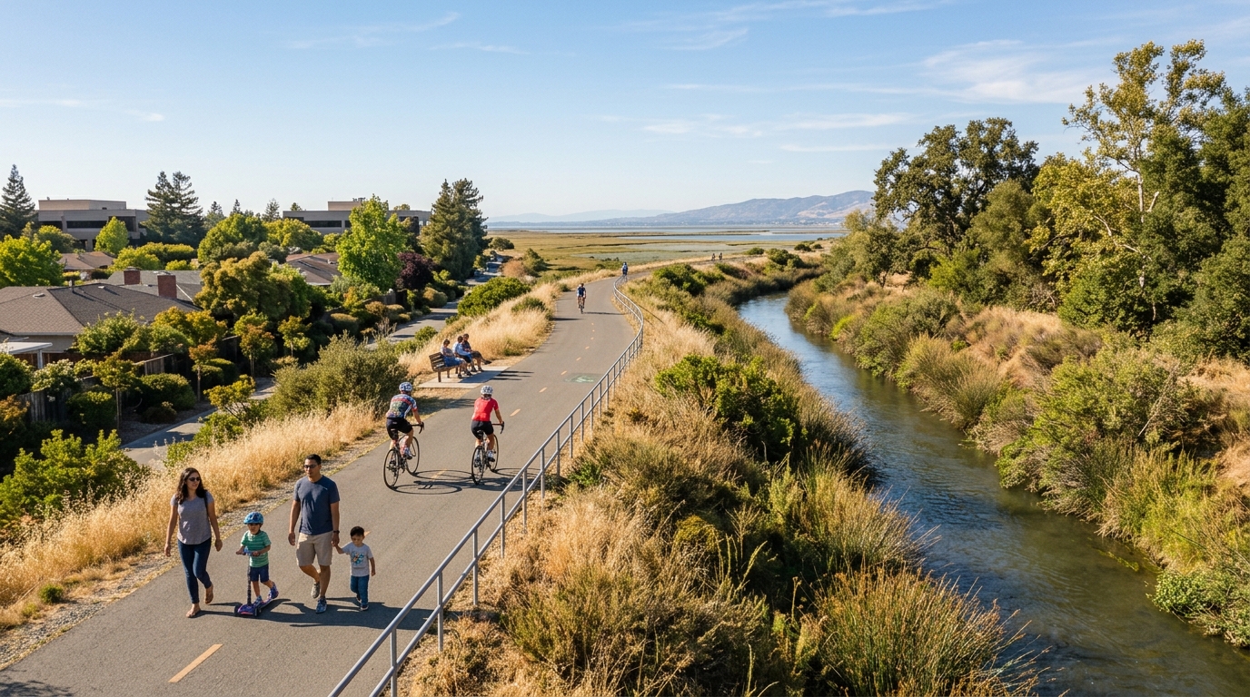
Unlike Evelyn, where the main design decisions have already been made, the East Channel study is still at a stage where public feedback can influence the final plan.
Phase 3 runs from spring 2026 through spring 2027. During this phase, the city is finishing the concept design, developing an implementation strategy and preparing draft and final plans.
As of August 2026, Sunnyvale is asking residents which section of the trail should be built first and what features matter most. The current survey is scheduled to remain open through August 30.
The city has also scheduled a community meeting for September 26 at Fair Oaks Park. The event is expected to include a presentation of draft conceptual plans followed by a guided walk along part of the future trail corridor.
Sunnyvale currently expects to present the final draft plan in spring 2027. After the study is complete, the city will still need to identify funding for detailed design and construction. In other words, the East Channel Trail is not about to open immediately even though planning is advancing.
What These Projects Could Mean for Getting Around Sunnyvale
Neither project will transform transportation in Sunnyvale by itself. Their real importance comes from how they connect with other pieces of the city’s bicycle and pedestrian network.
A trail becomes significantly more useful when it leads to another safe route rather than ending at a difficult intersection or busy roadway. Evelyn could strengthen east-west travel near downtown and the Caltrain corridor. East Channel could eventually provide the type of continuous north-south connection residents have requested for years.
Separated Routes Can Make Walking and Biking Useful to More People
Experienced cyclists can often navigate painted bike lanes and busy streets comfortably. Many other residents cannot. Parents riding with children, older adults, beginning cyclists and people making casual trips may avoid routes that place them directly alongside fast-moving traffic.
Separated shared-use paths address part of that problem by providing physical space away from ordinary vehicle lanes. They can serve people walking, cycling and using other active forms of transportation while creating a more predictable route through the city.
This fits the broader goal of Sunnyvale’s 2020 Active Transportation Plan, which calls for a safe and connected walking and bicycling network. The city continues working on bicycle lanes, safer crossings, trails and school-route improvements in different neighborhoods.
The connection with land use is important too. Downtown Sunnyvale continues to add housing, commercial activity and public spaces. Village Centers are being planned as more walkable neighborhood hubs. Employment districts are evolving. Transportation projects determine whether residents can realistically reach those destinations without making every trip by car.
You can see that broader change in our guides to Downtown Sunnyvale in 2026 and Sunnyvale’s Village Center projects.
For now, the Evelyn and East Channel projects offer two different views of how transportation improvements happen. Evelyn has moved through planning and design and is preparing for construction. East Channel remains in community review, where questions about route alignment, crossings, priorities and funding still have to be resolved.
That difference is exactly why both are worth watching in 2026. One shows what Sunnyvale’s next generation of separated walking and biking infrastructure may look like on the ground. The other shows how a much larger route is being shaped before construction decisions are made.
Over time, the most meaningful result may not be a single headline-grabbing trail. It may be a network where separate projects begin connecting to one another, making it easier to walk or bike between neighborhoods, parks, schools, downtown, workplaces and the Bay. That is when individual infrastructure projects start changing how people actually experience Sunnyvale.